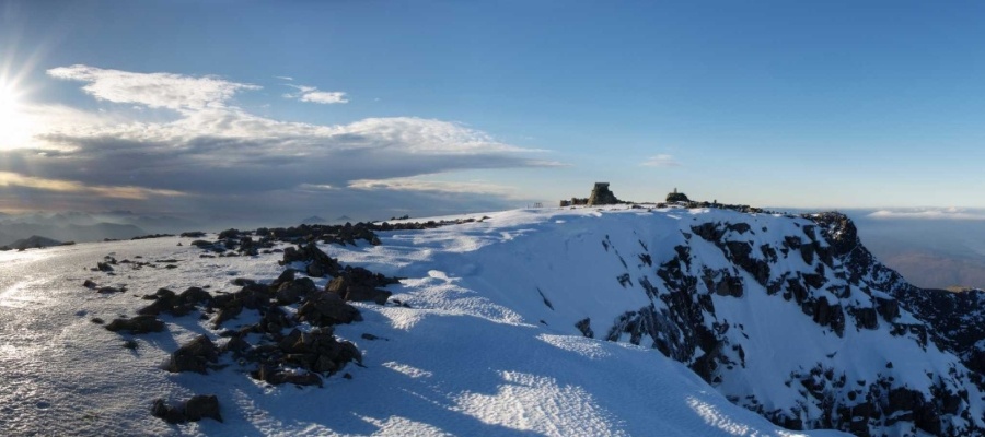
Ben Nevis Walking Routes – Six Routes Up, But Which One is Best?
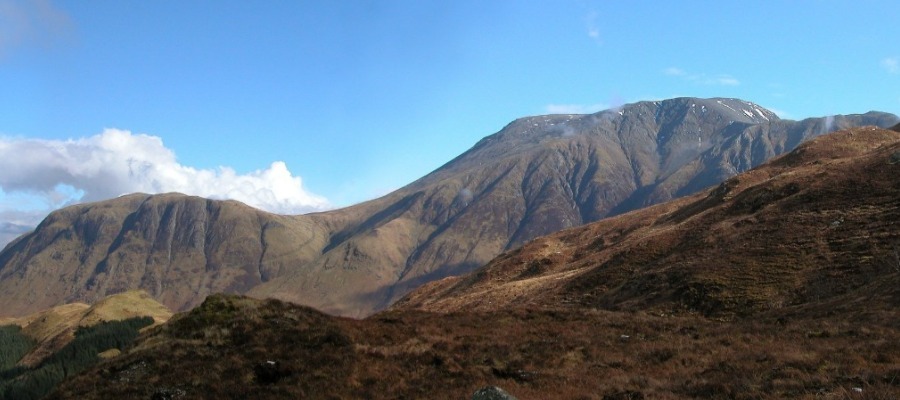
Ben Nevis is the tallest mountain in both Scotland and the British Isles. It has a summit of 1,345 metres (4,413 ft) above sea level. The mountain is located at the western wide of the Grampian Mountain range in Scottish Highlands. Given it’s statue, every year more the 150,000 people try to climb it, with …